Harihar Fort
- Oct 5, 2015
- 3 min read

Height -3500 feet
District- Nashik
History–
Harihar, also called Harish Fort, is 6.43 km west of Trimbak and 1,120.44 meters (3,676 feet) above sea-level. It was one of the forts in the possession of the Ahmadnagar Sultans. Captain Briggs from the British army visited the fort in 1818, and left a fairly detailed description. He described the ascent as truly wonderful. Captain Briggs also added that it was so difficult to climb that only five men could hold it against any odds. He further states that words would not be able to give an idea of its dreadful steepness. It is perfectly straight for about 60.96 meters (200 feet) and can only be compared to a ladder up a wall 60.96 meters (200 feet) high. In 1636 Harihar, Trimbakgad, Tringalvadi and a few other Poona forts were given by the Marathas to the Mughals. Hariharwas one of the seventeen strong places that were surrendered to the British on the fall of Trimbak in 1818. This was one of the rare forts that was not destroyed by the British because of its beauty.
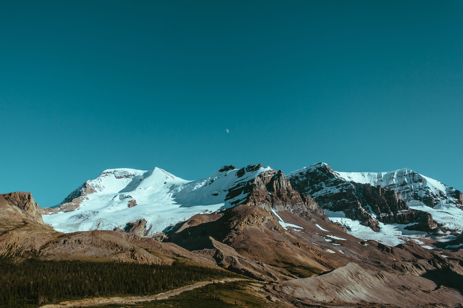
The fort of Harihar lies in the Trimbakeshwar range. It was of substantial importance in earlier days to keep watch on the route crossing the range connecting Maharashtra to Gujarat.Trimbakeshwar range spreads from north of Igatpuri to west of Nasik. It is divided in two parts, with forts of Basgad, Utvad, hill of Fani, Harihar and Trimbakgad on one part and those of Anjaneri and Hargad on the other. Vaitarna is the main river in this region. The water flows away from this region because of the one – sided slope of Sahyadris. There is an absolute shortage of water from January to March in this region. The fort appears to be rectangular in shape from its base village and is located on top of a triangular massif with all the three sides being vertical and hence naturally fortified. There is only one access to the fort through a 200ft high rock cut staircase inclined at an 80 degree angle
Trek
The trek to Harihar Fort is short. Start from the Nirgunpada. Fort is in the direction of north east to Nirgunpada. Route of the fort is from the west direction of fort. Start one the tar road for 100 meter then take left turn before the another village. Follow the foot trail in the jungle. There are many trails, but akways follow the trail which is going upward. After half hour trekking in jungle you will reach on small plateu from where you will clearly see steps of the fort.
The last 200 feet of the hike is a nerve-racking climb through steep rock cut stairs inclined at 80 degrees. The adventure doubles up in the monsoon as the stairs become slippery. To add to the excitement fierce wind blows through the gully making it difficult to balance on the slippery slopes. The descent is particularly exhilarating as you have to climb down and at one point face a sheer 500 ft drop. The architecture of the stairs is so diverse and outstanding and offers spectacular and occasionally scary views of the valley below. The fort is situated amidst the huge Vaitarna dam and the Trimbakeshwar mountain ranges offer stunning views of the area around. The fort is well supplied with water and can be attempted in any season
How To Reach
To reach Harihar fort base village is Nirgunpada. There are 10-12 houses in the village, there are no facility available for food and other stuff.
Route from Pune
Pune-Nashik-Triambak-Take Harsha-Nirgunpada
Accommodation Facility–
There are no facility in the village. You can stay on fort. There is place for 10-12 persons on the small temple to stay at south end.
Food Facility
No food facility available on the fort or base village. There is water available on the fort, but its hygienic condition can be vary, recommended to carry water.


Comments